
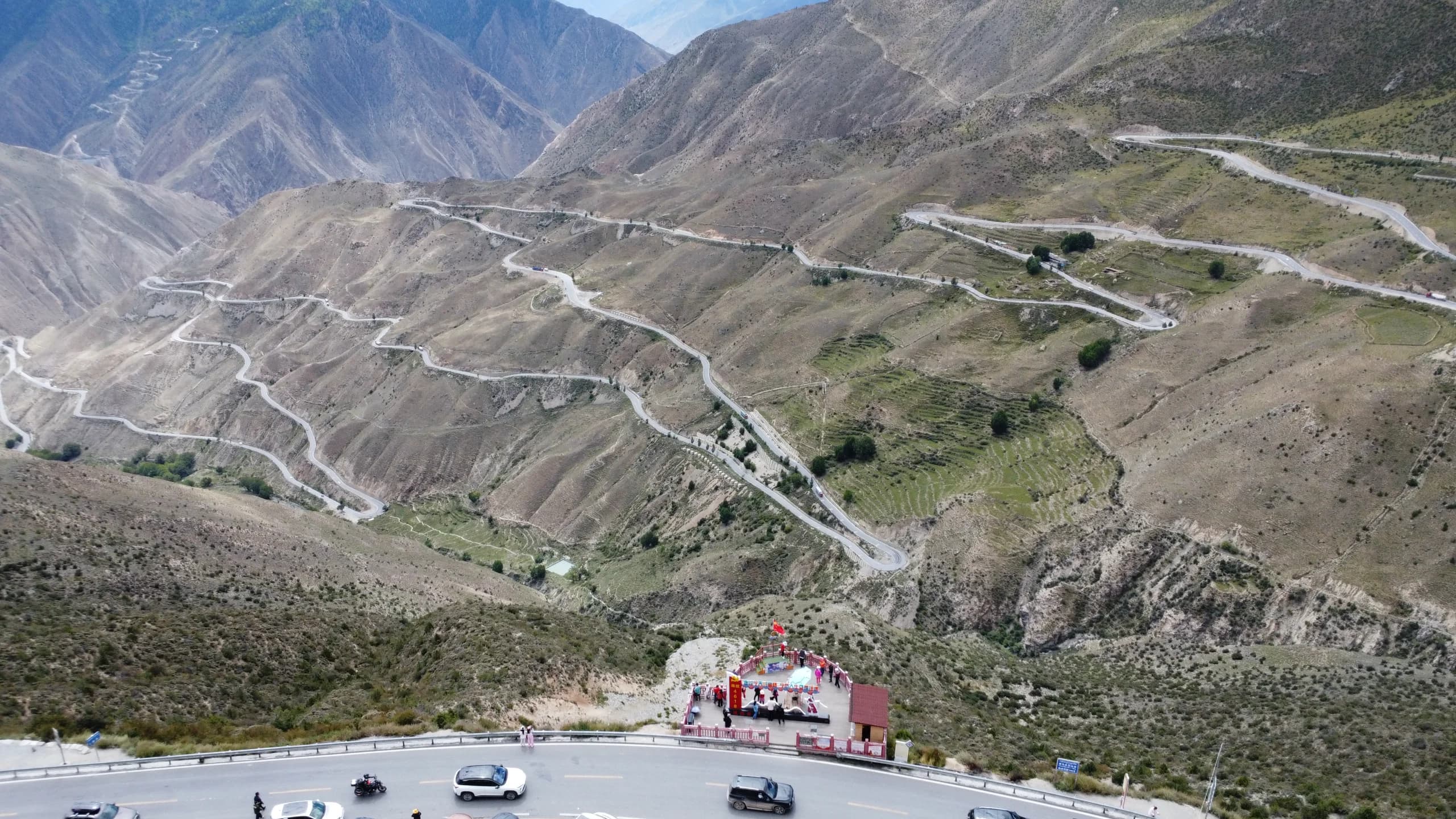
12 Days
12-Day Chengdu to Lhasa G318 Journey
A focused sample journey from Chengdu to Lhasa for travelers who want to experience the road within twelve days.
Explore RouteDiscover road journeys from Chengdu to Lhasa and tailor your trip around the landscapes and experiences you love.
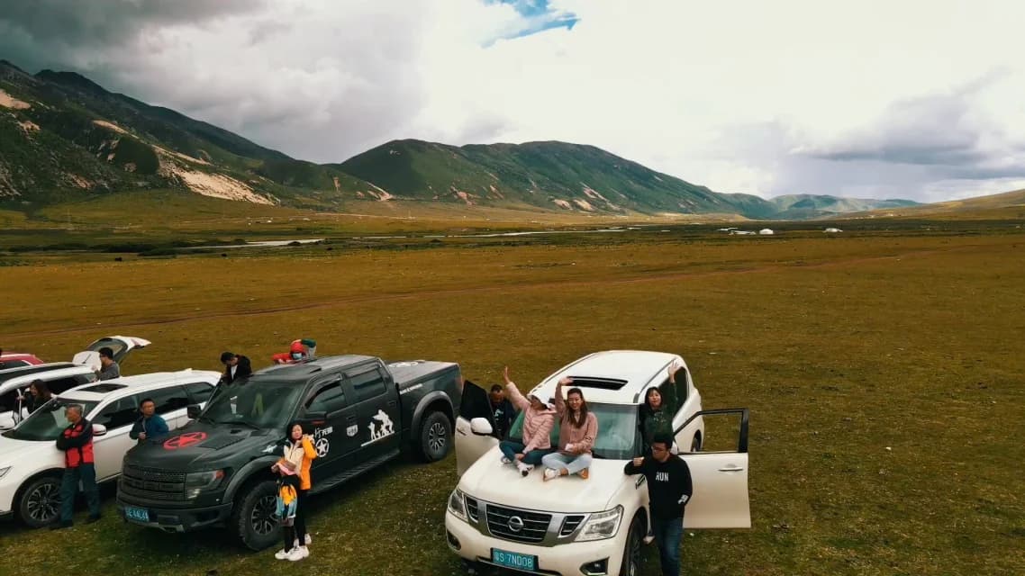
Simulate route durations, party sizes, vehicle comfort, and biological altitude parameters to view accurate land cost ranges and permit requirements.
Decide between the legendary 2,142km overland crossing to the holy city of Lhasa or the flexible circular alpine loops through Tibetan Kham in Western Sichuan.
Follow the legendary National Highway 318 through changing river gorges, high Tibetan grasslands, ancient monasteries, and the final arrival into Lhasa.
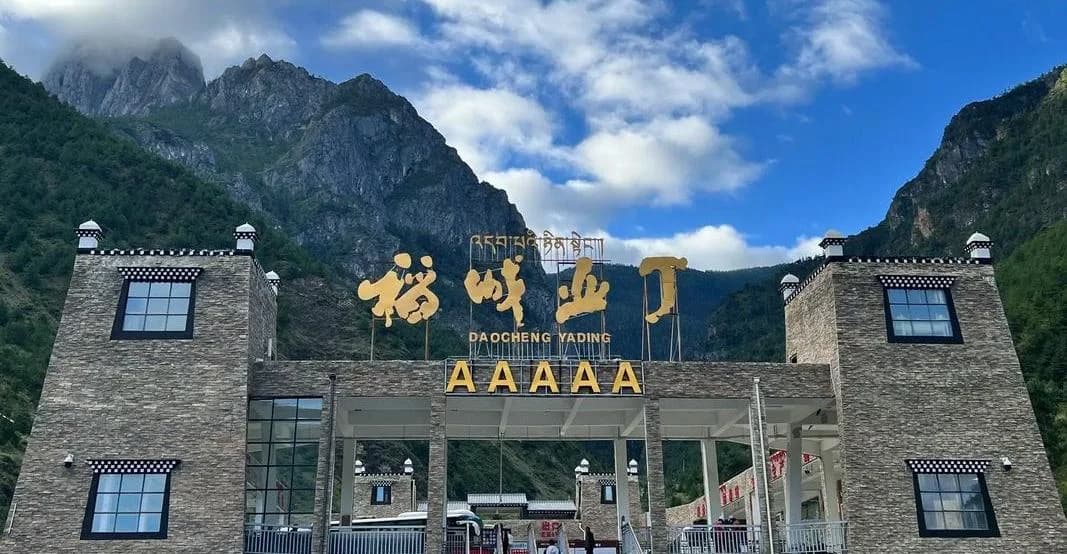
A focused journey for travelers with less time. Explore Mount Siguniang, Tagong Grassland, and Daocheng Yading in greater depth without the full Tibet crossing.
Click each waypoint across the 2,142km highway to inspect overnight elevations, driving durations, and our scientific sleep-low acclimatization strategy.
The historic low-altitude starting point. Ideal for gathering expedition supplies, meeting your driver, and registering permits before climbing into the Tibetan plateau.
Planning your ascent rhythm? See the verified 22-stop database mapping every high pass (Dongda 5,130m), restorative valley sleep haven (Batang 2,580m, Bomi 2,725m), 12 tiered public hospitals directory, and get our $39.90 offline emergency field manual.
Field-tested routes designed for thoughtful travelers. Each itinerary balances driving durations, acclimatization rest stops, and extraordinary high-altitude photography.
A focused sample journey from Chengdu to Lhasa for travelers who want to experience the road within twelve days.
Explore Route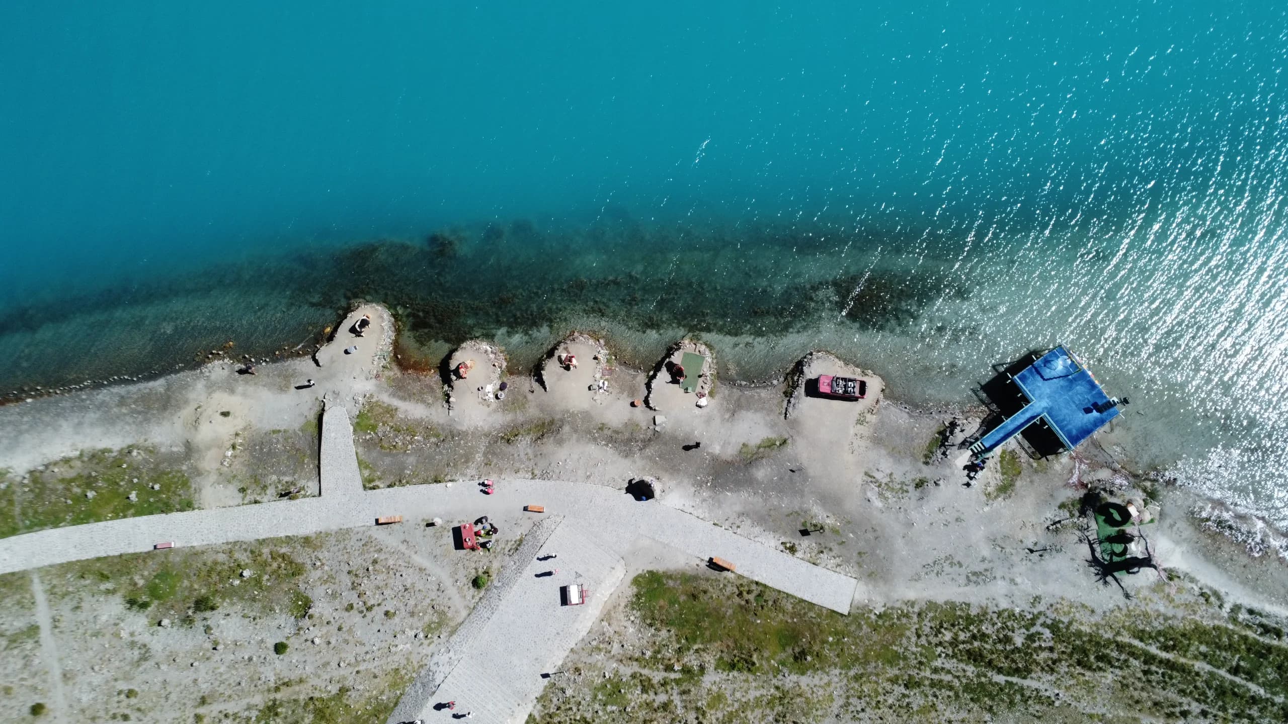
A slower sample from Chengdu to Lhasa with two additional days for pacing, rest and confirmed experiences.
Explore Route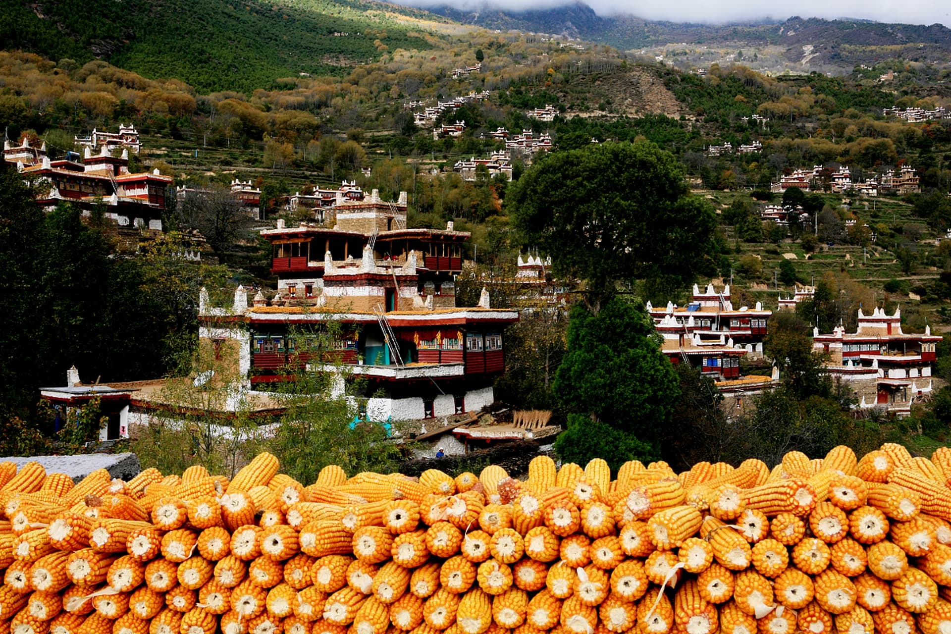
A compact Western Sichuan sample for travelers with six days and a preference for a focused mountain route.
Explore RouteAn eight-day Western Sichuan sample with more room for scenery, rest and one focused local experience.
Explore RouteCrossing 5,000-meter passes requires uncompromising safety equipment, seasoned mountain drivers, and certified high-altitude emergency protocols.
Commercial Toyota Land Cruiser Prado and Buick GL8 Executive vans equipped with cold-weather engine heaters, reinforced chassis, and full passenger insurance.
Every vehicle carries pressurized medical oxygen tanks, fingertip SpO2 pulse oximeters, and emergency descent protocol routing to lower-altitude hospital stations.
Drivers hold over 10 years of continuous G318 overland driving experience, trained in defensive winter driving, mudslide bypass, and polite traveler service.
Official Tibet Tourism Bureau (TTB) permits, military border passes, and foreign guest hotel registrations pre-cleared before departure.
Tested across 5,144 physical survey assets. Zero generic fluff. Inspect authentic sample pages from both dossiers below, then choose your digital expedition pack.
Inspect authentic interior pages: real in-vehicle telemetry logs, low-altitude safe havens, high mountain pass profiles, and clinical AMS protocols.
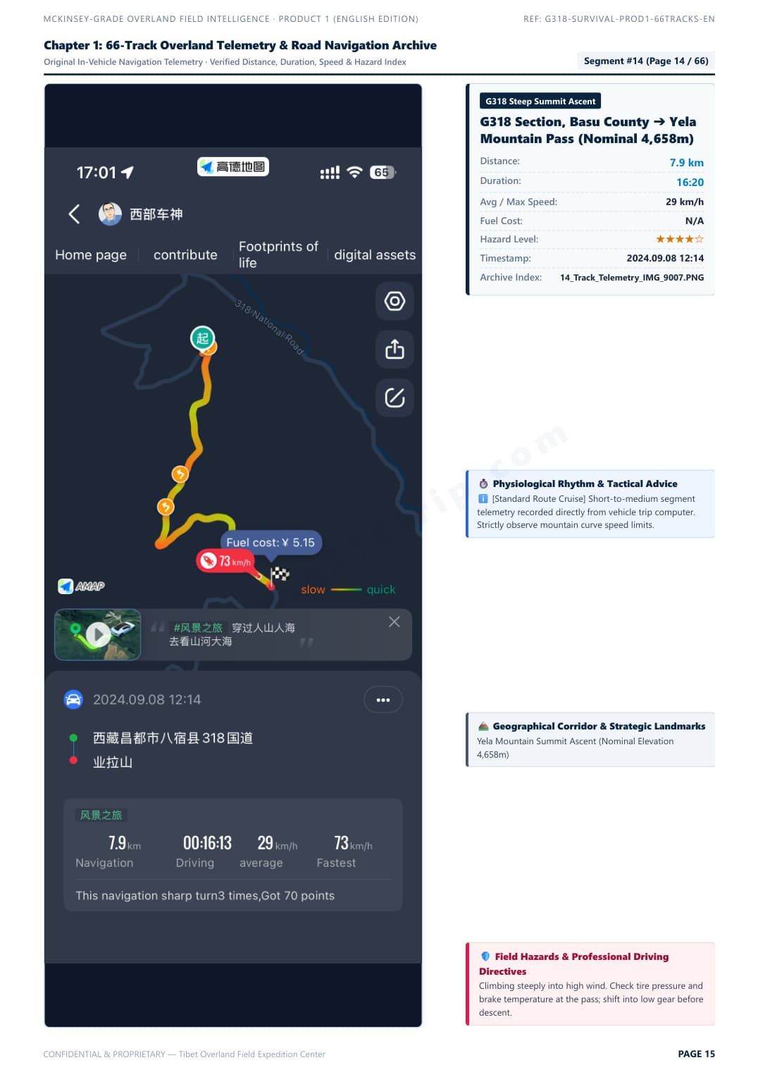
Segment #15: Zheduo Pass ➔ Xinduqiao. Real in-vehicle telemetry with elevation curve, average speed, and overtaking tactics.
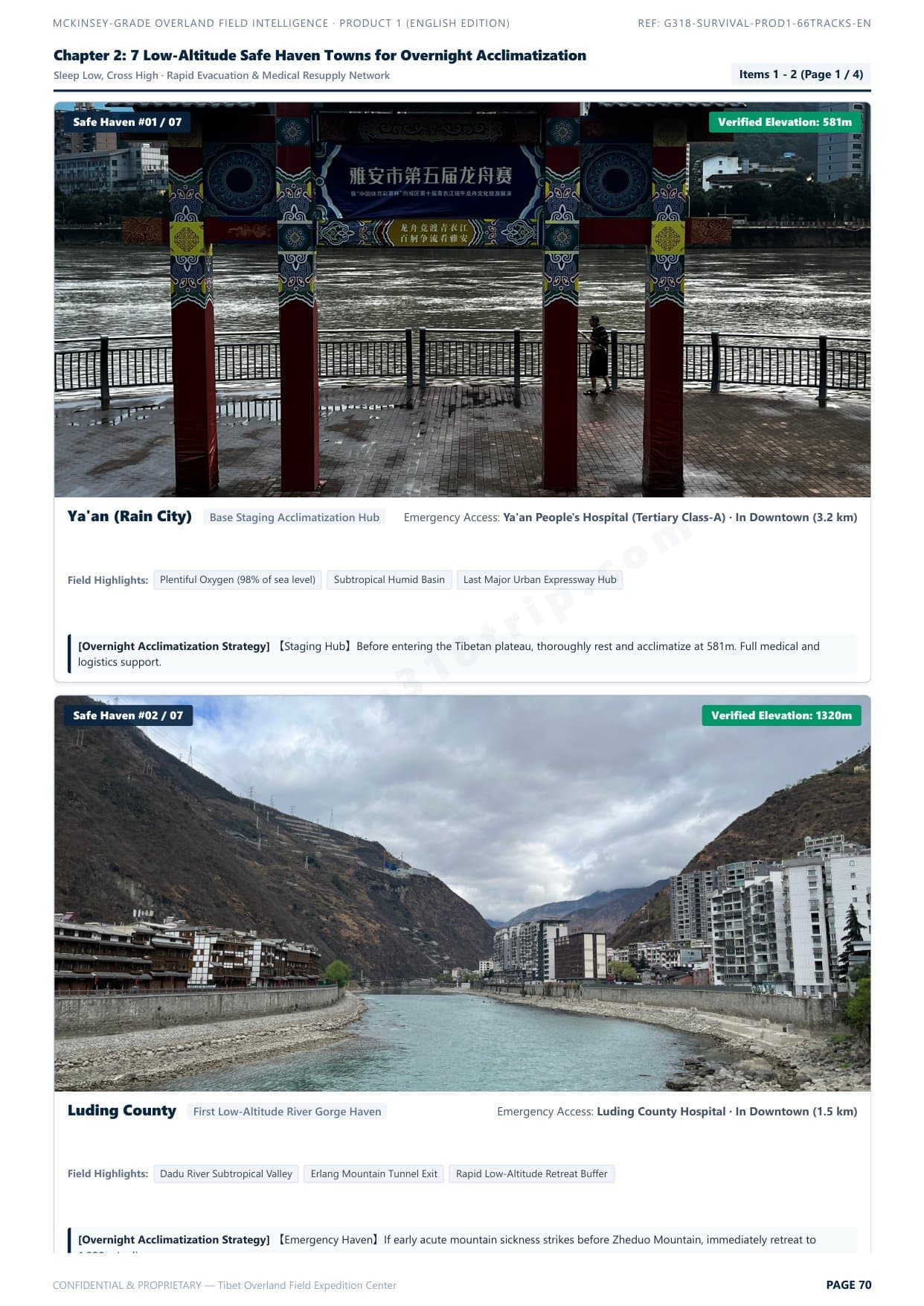
Scientific hypoxia staging strategy: sleep low, climb high. Safe night stop elevations and rapid emergency descent corridors.
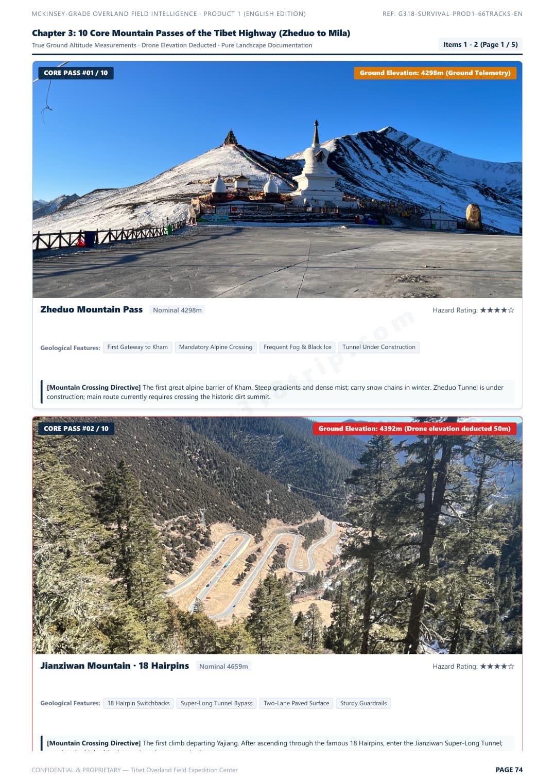
Zheduo, Haizi, Dongda, Mila passes. Real gradients, road surface conditions, and vehicle chassis clearance ratings.
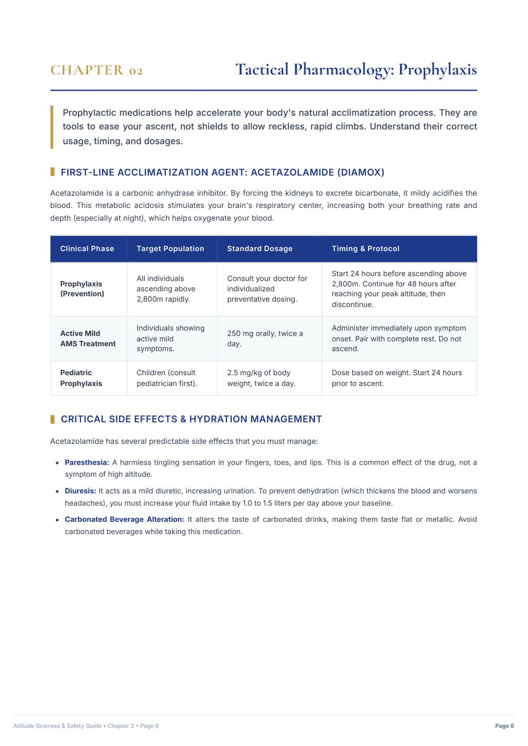
25-page acute mountain sickness emergency protocol, S.O.A.D. rapid descent workflow, and prescription medication matrix.
The definitive self-drive road intelligence blueprint. Solves chassis clearance hazards, certified low-elevation sleep staging, and clinical acute mountain sickness protocols.
Instant Single-File PDF Delivery (91 MB) · Standalone Survival Manual
Dedicated visual takeoff archive. 100 curated spots with verified DJI EXIF coordinates, true ground elevations, golden-hour lighting windows, and universal offline map files.
Instant Digital Download (~24 MB): 52-Page Master PDF + KML Waypoints + Excel Sheet
The all-in-one expedition master suite. Combines Product 1 (66 Telemetry Tracks Road Survival Manual) AND Product 2 (100 Verified Drone Waypoints Archive, Universal KML Maps & Master Excel Sheet) at a discounted package price.
Direct, factual answers to the most common questions raised by international travelers planning the overland route to Tibet in 2026.
Tell us your travel dates, group size, and comfort preferences. We provide a transparent proposal with verified vehicle choices, acclimatization stages, and permit lead times.